
How the GTA 6 mapping project rebuilds the map from trailers
The GTA 6 mapping project is a volunteer effort, run mostly through the r/GTA6 subreddit and a dedicated Discord, that reconstructs the state of Leonida from leaked debug coordinates, trailer frames and Rockstar’s official artwork. Its map is not official. It is the best unofficial picture you can get of how big Vice City and the surrounding regions are before the game ships.
What the GTA 6 mapping project actually is
The project started in September 2022, the week around 90 clips of pre-alpha GTA 6 footage leaked online. Those clips carried debug text on screen, including world coordinates. A handful of Reddit users began plotting those numbers on a grid and noticed the spread was far wider than anything in GTA 5.
That grid became the seed of what the community now calls the GTA 6 mapping project, or the GTA 6 map project depending on who you ask. The best known contributor is the Reddit and X user DuPz0r, whose updated map images are the ones most news outlets screenshot when they write about GTA VI mapping. Dozens of other users have fed in frame analysis, sign readings and real-world location matches.
Nothing the project publishes comes from Rockstar. Treat every version of the fan map as a working hypothesis that gets revised each time Rockstar releases new material.
What we know
The six regions are official
Rockstar’s May 2025 refresh of the GTA VI website, which landed alongside Trailer 2 on May 6, 2025, named six regions in Leonida. Those names are the fixed points the mapping project now anchors everything to.
| Region | Rockstar’s framing | Real-world inspiration (community read) | Status |
|---|---|---|---|
| Vice City | The state’s party capital and main urban hub, including Vice Beach | Miami and Miami Beach | CONFIRMED name, inspiration is community analysis |
| Leonida Keys | A chain of islands south of the mainland, connected by long bridges | The Florida Keys and Seven Mile Bridge | CONFIRMED name |
| Grassrivers | A vast wetland crossed by airboat | The Everglades | CONFIRMED name |
| Port Gellhorn | A faded port town with a rough reputation | The Florida Panhandle, Panama City area | CONFIRMED name |
| Ambrosia | A sugar town built around a refinery | Clewiston and the Lake Okeechobee sugar belt | CONFIRMED name |
| Mount Kalaga National Park | Forested, hilly park land in the north | North Florida and the Georgia border uplands | CONFIRMED name |
The inspiration column is the mapping community’s reading of the screenshots, not a Rockstar statement. Rockstar has never said “this district is Miami Beach.” It does not need to. Trailer 2’s aerial of a hotel-lined beach strip looks like Ocean Drive, and the project treats that as a locating clue rather than a fact about the fiction.
The cast is official too
The same site refresh named the people you will meet across Leonida: Jason Duval and Lucia Caminos as the leads, plus Cal Hampton, Boobie Ike, Dre’Quan Priest, the duo Real Dimez (Bae-Luxe and Roxy), Raul Bautista and Brian Heder. Several of them are tied to specific regions in Rockstar’s descriptions, which is useful for mapping. Boobie Ike’s businesses sit in Vice City. Brian Heder’s story is pinned to the Keys. Lucia’s story opens at Leonida Penitentiary, which the project places inland.
Rockstar’s only size statement
Rockstar’s December 2023 announcement called GTA 6 “the biggest, most immersive evolution of the Grand Theft Auto series yet.” That is the whole official line on scale. No square kilometre figure, no comparison to GTA 5, no overhead map. Everything else about size is community measurement.
Platforms and timing
The game is confirmed for PlayStation 5 and Xbox Series X|S. Take-Two moved the release twice, first from a 2025 window to May 26, 2026, then on November 6, 2025 to November 19, 2026. If you are tracking the “release date for gta 6” for planning purposes, that November date is the one that counts until Take-Two says otherwise. A PC version has not been announced.
How the project rebuilds the map, step by step
Quick steps: how the mapping project builds a map version
- Extract every readable coordinate from the 2022 leaked clips and plot it as a point.
- Pair each point with whatever the clip shows: road, shoreline, building, sign text.
- Pull trailer frames and official screenshots, then match skylines, bridges and coastlines to the plotted points.
- Use line-of-sight between known landmarks across multiple frames to fix positions the coordinates do not cover.
- Publish a redrawn image, mark confidence levels, and wait for the next official drop.
Step 1: the coordinate grid
Rockstar’s RAGE engine uses a world coordinate system where one unit is roughly one metre. GTA 5 modders have worked with those units for a decade, so the community knew how to read them. In the leaked debug footage, the overlay printed X, Y and Z values for the player’s position.
Mappers logged every value they could read. Because the leak showed Jason and Lucia in a dozen distinct environments, from a diner robbery to a strip club to a pool party in a high-rise, the points were scattered widely enough to sketch a bounding box for the playable world. That box is where the “bigger than GTA 5” claim originated. It is also where the project’s biggest uncertainty sits, because a bounding box tells you how far apart two points are, not how much land fills the gap.
Step 2: reading the signs
The leak was full of text. Street signs, business names, licence plates reading Leonida, a strip club, a hotel, a police station. The project catalogued every string. Some were later confirmed by Rockstar’s site, like Port Gellhorn and Vice City itself. Others stay unconfirmed and are marked as such on good versions of the fan map.
Signs matter for a second reason. Highway shields and exit numbers behave like a real road network. When you see the same highway number in two clips with two sets of coordinates, you can draw that road between them with some confidence.
Step 3: the trailers
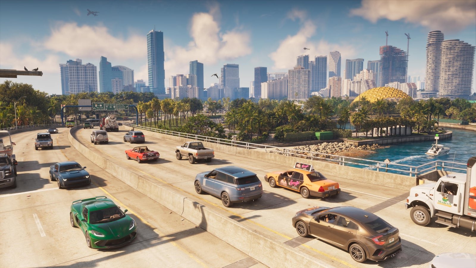
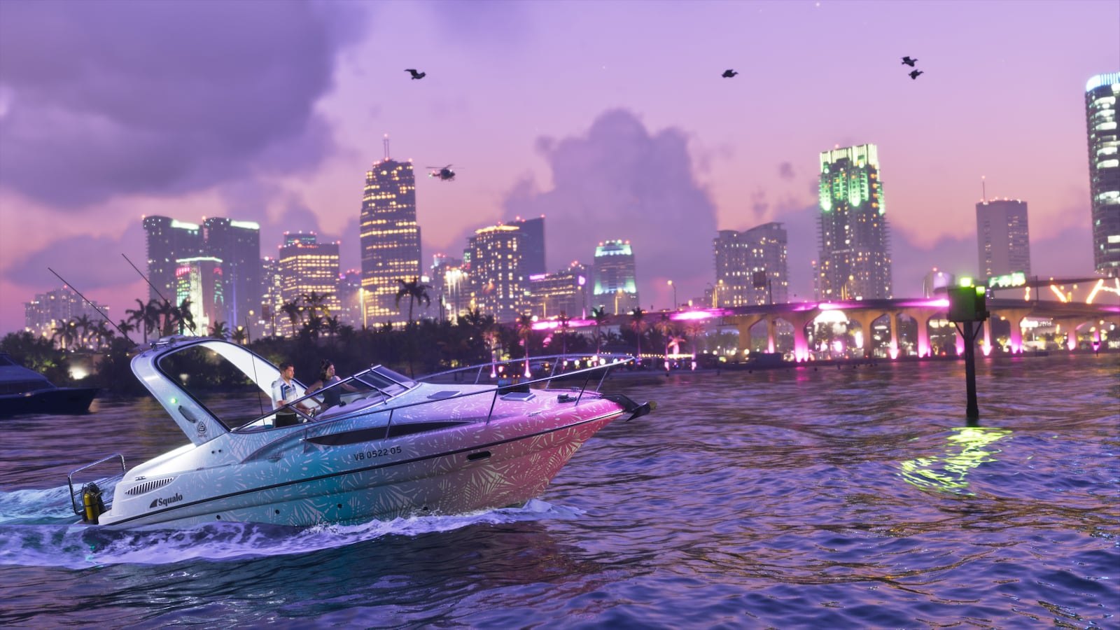
Trailer 1 on December 4, 2023, released a day ahead of its scheduled December 5 date after a low-quality version leaked online, gave the project its first clean, high-resolution look at Vice City. The sunset beach shot, the art deco hotel row and the causeway behind the party boat footage all got matched against the coordinate grid. The trailer did not include coordinates, obviously, so placement here relied on skylines.
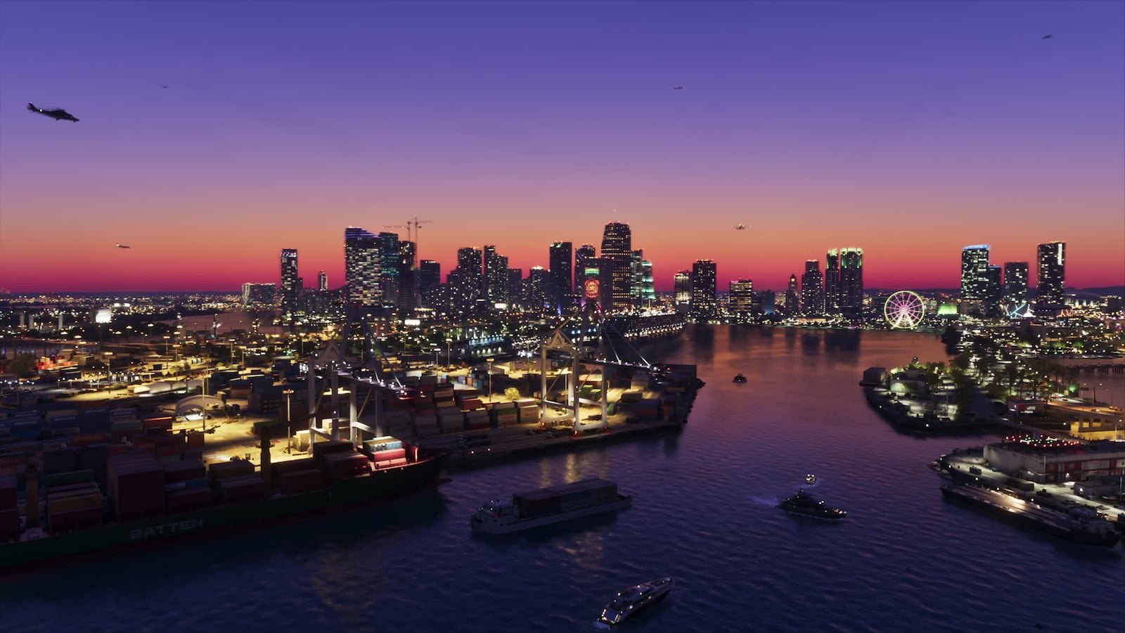
Trailer 2 on May 6, 2025 was the bigger gift. It opened on aerial shots that behave almost like orbital photography: the Vice Beach strip from above, a long bridge arcing over turquoise water into the Keys, a refinery stack rising out of sugar cane in Ambrosia, mangrove channels in Grassrivers. The project redrew the southern half of Leonida within days of that trailer. You can see the before and after in the version history on the subreddit.
Step 4: triangulation
This is the part that separates serious GTA VI mapping from guesswork. If a frame shows a water tower on the horizon behind a known building, the water tower must sit along a line drawn from that building in that direction. A second frame from a different angle pins it. Three frames and you have it to within a city block.
The technique is borrowed from real photogrammetry and from the Red Dead Redemption 2 mapping effort that predated the 2018 launch. It works well in Vice City, where distinct towers and the coastline give you fixed references. It works poorly in Grassrivers, where everything is flat and green.
Step 5: publication and revision
Each release of the fan map is an image, usually overlaid on an outline of Florida flipped or stretched to match. Good versions colour-code confidence: solid lines for coordinate-backed roads, dashed for triangulated, shaded blobs for “there is something here but we do not know what.” Several fans have taken those images into Blender and Unreal Engine to produce 3D flyovers, which is where the “exploring the map in 3D” videos on YouTube come from.
Agent's note
Check the version date on any fan map image before you trust it. Pre-May 2025 versions do not have the six official region names and often place Port Gellhorn and Ambrosia in the wrong spots. Post-Trailer 2 versions are far more reliable in the south and still shaky in the north.
What is rumored
Every item here comes from a nameable source. None of it is Rockstar policy.
Rumor: Leonida is roughly twice the size of GTA 5’s landmass
Source: the mapping project itself, chiefly DuPz0r’s coordinate analysis published on r/GTA6 and X.
How the estimate works: take the widest X and Y spread in the leaked coordinates, compare it to GTA 5’s known coordinate range, and assume a similar proportion of that box is walkable land. The community lands somewhere near double GTA 5’s land area, with wide error bars.
Our call: plausible but unproven. Coordinate spread is real data, so the map is almost certainly larger than Los Santos and Blaine County. “Double” assumes fill density nobody can measure from leaked clips. A long, thin state with big water gaps between the Keys and the mainland could produce a huge bounding box and a merely large playable surface.
Rumor: the map will expand after launch
Source: Jason Schreier at Bloomberg, July 2022, reporting that Rockstar planned a fictional Miami and its surroundings at launch, with new cities and missions added over time.
Our call: credible source, stale timeline. Schreier’s record on Rockstar reporting is strong and the Leonida setting he described turned out right. But that report is more than three years old and predates two release delays. Whether a post-launch expansion model survived that period is unknown. Treat the 2022 plan as a plan, not a promise.
Rumor: a complete official map has leaked
Source: various images circulated on X, TikTok and YouTube since 2024 claiming to show the full Leonida map.
Our call: DEBUNKED as official. Every one we have traced back is either a version of the fan mapping project passed off as a leak, or a from-scratch fan render. Rockstar has not released or lost an overhead map. If an image shows clean cartography with a legend and road names for the whole state, it was drawn by a fan.
Rumor: specific district names inside Vice City
Source: sign readings from the 2022 leak, catalogued by the mapping community.
Our call: partially supported. Vice Beach is official now. Other neighbourhood and county names seen on leaked signage are unconfirmed and may have changed in three years of development. Good fan maps label them with question marks. Bad ones print them like gospel.
Heads up
The 2022 leaked clips remain under active takedowns from Take-Two, and links promising “full GTA 6 leak footage” are a common malware and phishing lure. The mapping project’s published images are fine to view. Chasing the original videos is not worth the risk to your accounts or your PC.
Evidence sources, ranked by weight
| Source | Date | What it gave the project | Weight |
|---|---|---|---|
| Rockstar GTA VI website refresh | May 6, 2025 | Six region names, character bios tied to places, 70+ screenshots | Highest, official |
| Trailer 2 | May 6, 2025 | Aerial shots of Vice Beach, the Keys bridge, Ambrosia refinery, Grassrivers | High, official but no coordinates |
| Trailer 1 | December 4, 2023 | First clean look at Vice City skyline, beach strip, causeways | High, official but limited to the south |
| Leaked pre-alpha clips | September 2022 | Debug coordinates, sign text, road numbers | Medium, authentic but three years old |
| Bloomberg reporting | July 2022 | Setting and expansion plans | Medium, credible but dated |
| Fan “leaked map” images | 2024 onward | Nothing usable | Zero |
Use this ordering when you read a mapping update. If a claim only rests on the bottom two rows, it is decoration.
How Leonida compares to earlier Rockstar maps
Rockstar has never published square kilometre figures for any of its worlds. The numbers below are the community measurements that circulate most widely, rounded, and they disagree with each other by 10 to 20 percent depending on who counted and whether they included water.
| Game | Year | Setting | Approx. land area (fan measured) |
|---|---|---|---|
| GTA III | 2001 | Liberty City | Around 8 km² |
| GTA: Vice City | 2002 | Vice City | Around 7 km² |
| GTA: San Andreas | 2004 | San Andreas (three cities) | Around 36 km² |
| GTA IV | 2008 | Liberty City | Around 16 km² |
| GTA V | 2013 | Los Santos and Blaine County | Around 80 km² land, 125 km² with water |
| Red Dead Redemption 2 | 2018 | Five fictional states | Around 75 km² |
| GTA 6 | 2026 | Leonida | Not announced; community guess roughly 2x GTA V land |
Two things stand out. First, the original 2002 Vice City was tiny by modern standards, a couple of islands you could cross by motorcycle in under three minutes. Leonida’s Vice City is a full metro area with suburbs, a causeway system and a beach strip that reads as a city in its own right. Second, Rockstar’s jump from GTA IV to GTA V was about five times the land. If the mapping project’s double-GTA-V estimate holds, that would be the largest absolute increase in the series, though a smaller ratio than the IV to V leap.
If you want the landmark-by-landmark breakdown of each region rather than the methodology, our “gta 6 map” piece covers every confirmed location.
Map features that change how the project works
Three design elements visible in official material affect how you should read any fan map.
Water is a huge share of the playable area
The Keys, Vice City’s bay and the Grassrivers channels mean a big chunk of Leonida is sea, swamp or river. Trailer 2 shows jet skis, airboats, fishing boats and a shark. The coordinate bounding box includes all of that water, which is why land-only estimates are so uncertain. GTA 5 had the same issue with the ocean around San Andreas, and fan measurements still vary by 40 km² depending on the water rule.
The road network is long and thin
Florida is long. So is Leonida. The Keys hang off the bottom on a single bridge chain, Port Gellhorn sits far to the north-west, and Mount Kalaga is up top. The mapping project’s north remains the least detailed part of the map precisely because the trailers spent most of their runtime in the south. Expect that to flip when Rockstar shows more of Jason’s side of the story.
Interiors appear to be dense
The official screenshots show working interiors for diners, strip clubs, a pawn shop, a nightclub, a high-rise condo and what looks like a bank. The leak also showed a robbery inside a diner with full interior geometry. Interiors do not change the overhead map, but they tell you that square kilometres undersell the content. A dense 160 km² with enterable buildings is a different proposition from an empty 160 km².
What it means
For you as a player, the mapping project is the closest thing to a tour of Leonida you will get before launch. It tells you the broad shape: a big southern metro, an island chain, a wetland interior, an industrial sugar town, a faded northern port and a park. That is enough to know the game is structured more like San Andreas, with distinct regions and real travel between them, than like GTA IV’s single-city focus.
For Rockstar, the project is a free, extremely motivated audit of every frame they publish. Rockstar has not acknowledged it and almost certainly never will. Take-Two’s takedown efforts have targeted the leaked footage, not fan cartography, and there is no record of a mapping project image being removed.
For the news cycle, be sceptical of any headline that says “GTA 6 map revealed.” Rockstar has revealed region names, screenshots and two trailers. It has not revealed a map. When the real overhead map finally appears, it will come from a Rockstar Newswire post or the retail product, and you will know within minutes.
Practical note: the map’s scale has no bearing on the “gta 6 price,” which has now been officially announced at $80 for the Standard Edition and $100 for the Ultimate Edition. When pre-orders open, the map image Rockstar ships with that announcement will instantly obsolete every fan version. Until then, the project is the map.
How to vet a “new GTA 6 map” image yourself
You will keep seeing these. Here is a quick filter.
- Look for a version date and author. Mapping project images carry both. Fake leaks carry neither.
- Check the region names. Any image using the six official names in the right rough positions post-dates May 2025. Any image with names you cannot source to a trailer or the official site is speculating.
- Count the detail. A fully labelled state with every street named is a fan render, because nobody outside Rockstar has that information.
- Reverse image search. Most “leaks” trace back to a Reddit post that clearly said “fan-made” before someone cropped the caption.
- Compare to the trailers. If the Keys bridge, Vice Beach strip and Ambrosia refinery are not where Trailer 2’s aerials put them, the map is wrong.
FAQ
Is the GTA 6 mapping project official?
No. It is a fan effort hosted on r/GTA6 and a community Discord. Rockstar has not endorsed, confirmed or commented on it.
How big is the GTA 6 map?
Rockstar has not said. The mapping project’s coordinate analysis points to a world larger than GTA 5, with a popular estimate of roughly double GTA 5’s land area. That figure is a community estimate and should be treated as RUMOR.
Where did the coordinates come from?
From the September 2022 leak of pre-alpha footage, which showed debug overlays with world coordinates on screen. Those numbers were logged and plotted by community members.
Are the six regions confirmed?
Yes. Vice City, Leonida Keys, Grassrivers, Port Gellhorn, Ambrosia and Mount Kalaga National Park were all named on Rockstar’s official GTA VI site in May 2025.
Has the full GTA 6 map leaked?
No. Every “full map leak” traced so far is either a fan mapping project image mislabelled as a leak or an original fan render. Rockstar has not released an overhead map.
Is there an interactive GTA 6 map?
Only fan-made ones built on the mapping project’s data. There is no official interactive map, and there will not be one until Rockstar publishes the real cartography closer to the November 19, 2026 release.
Will the GTA 6 map get bigger after launch?
Bloomberg reported in July 2022 that Rockstar planned post-launch expansions with new cities. That is a credible report from three years ago, not a current confirmation. Status: RUMOR.